Tierra del Fuego

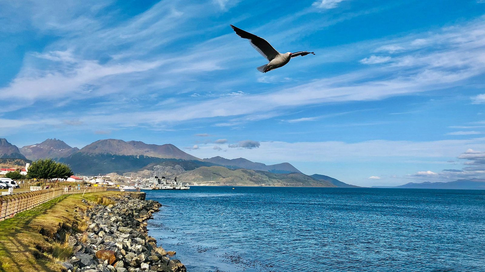
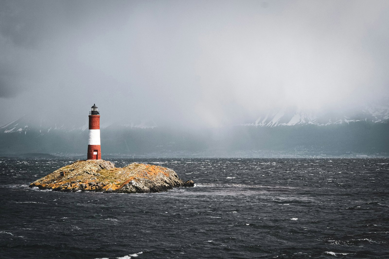
Ushuaia Harbour
Puerto Williams, Isla Navarino
Wulaia Bay
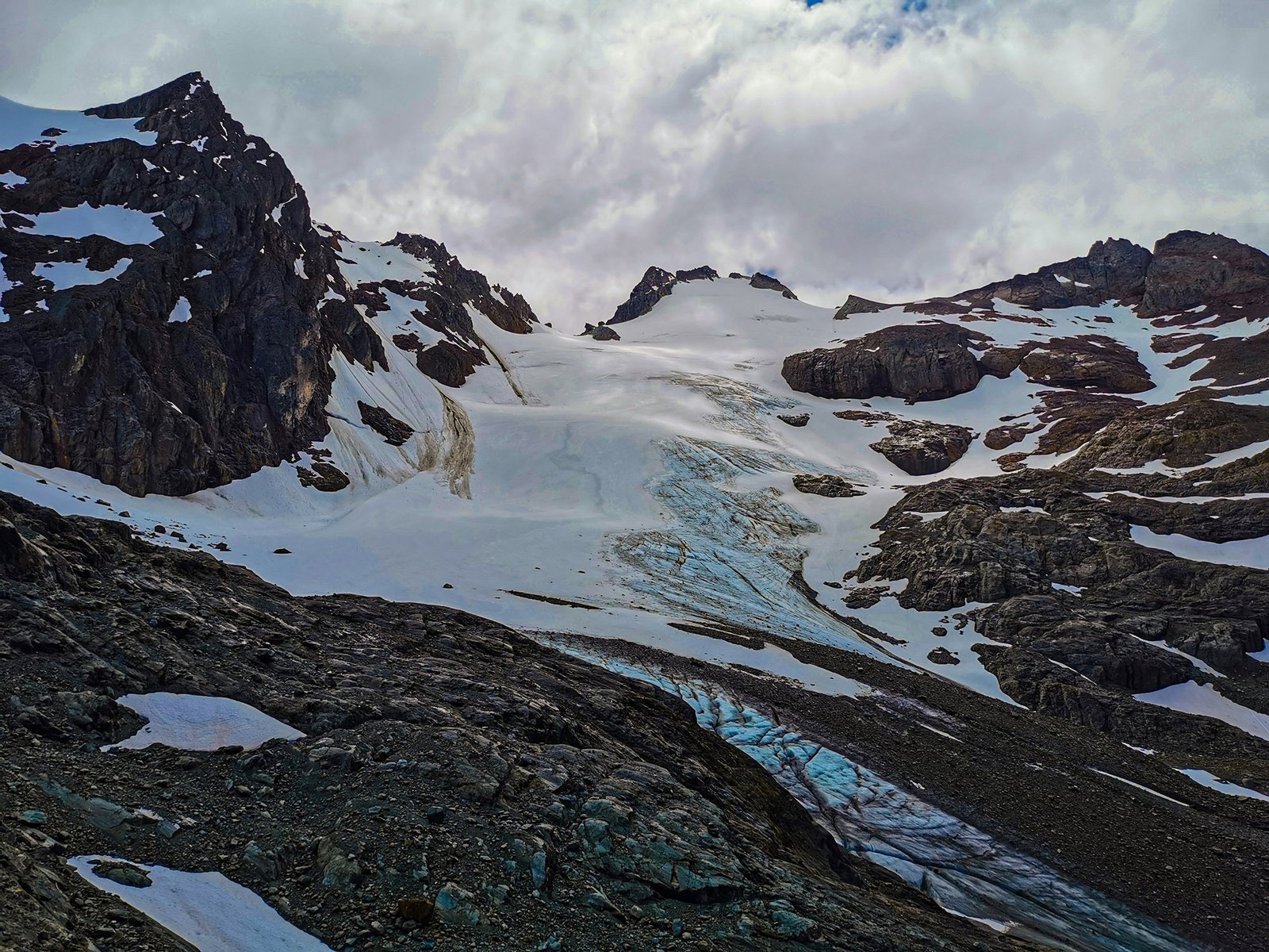
Pía Fjord
Estancia Harberton
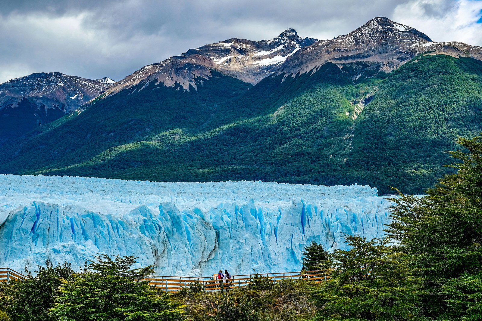
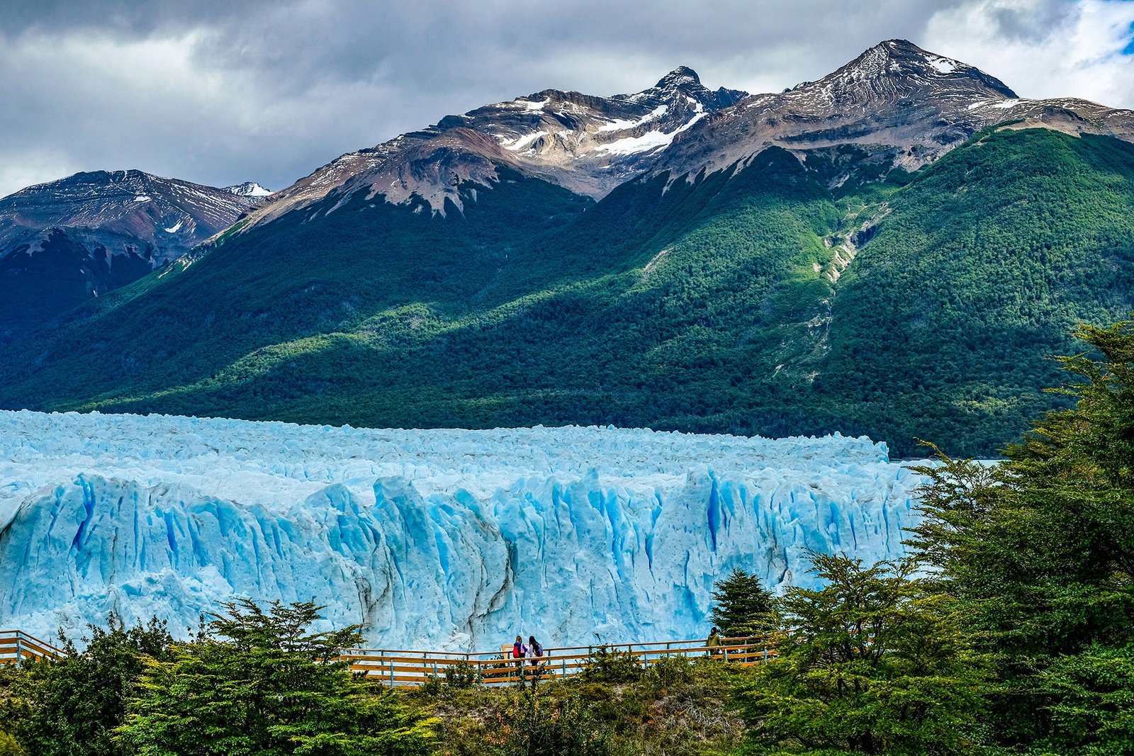
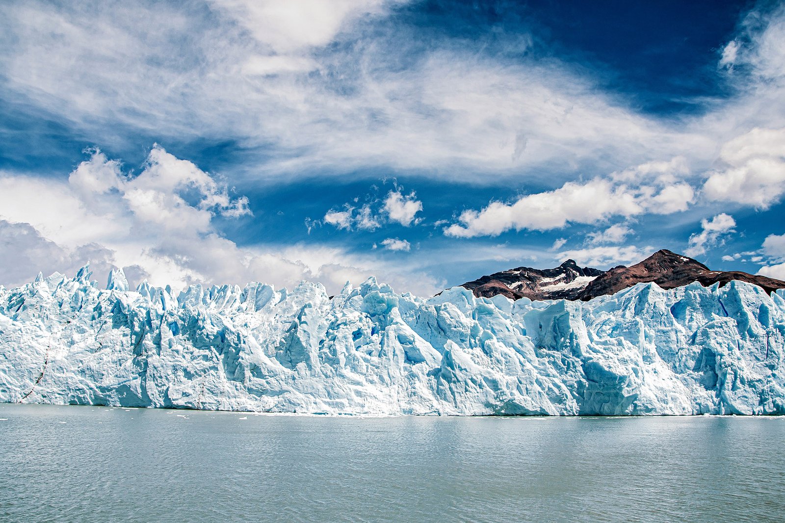
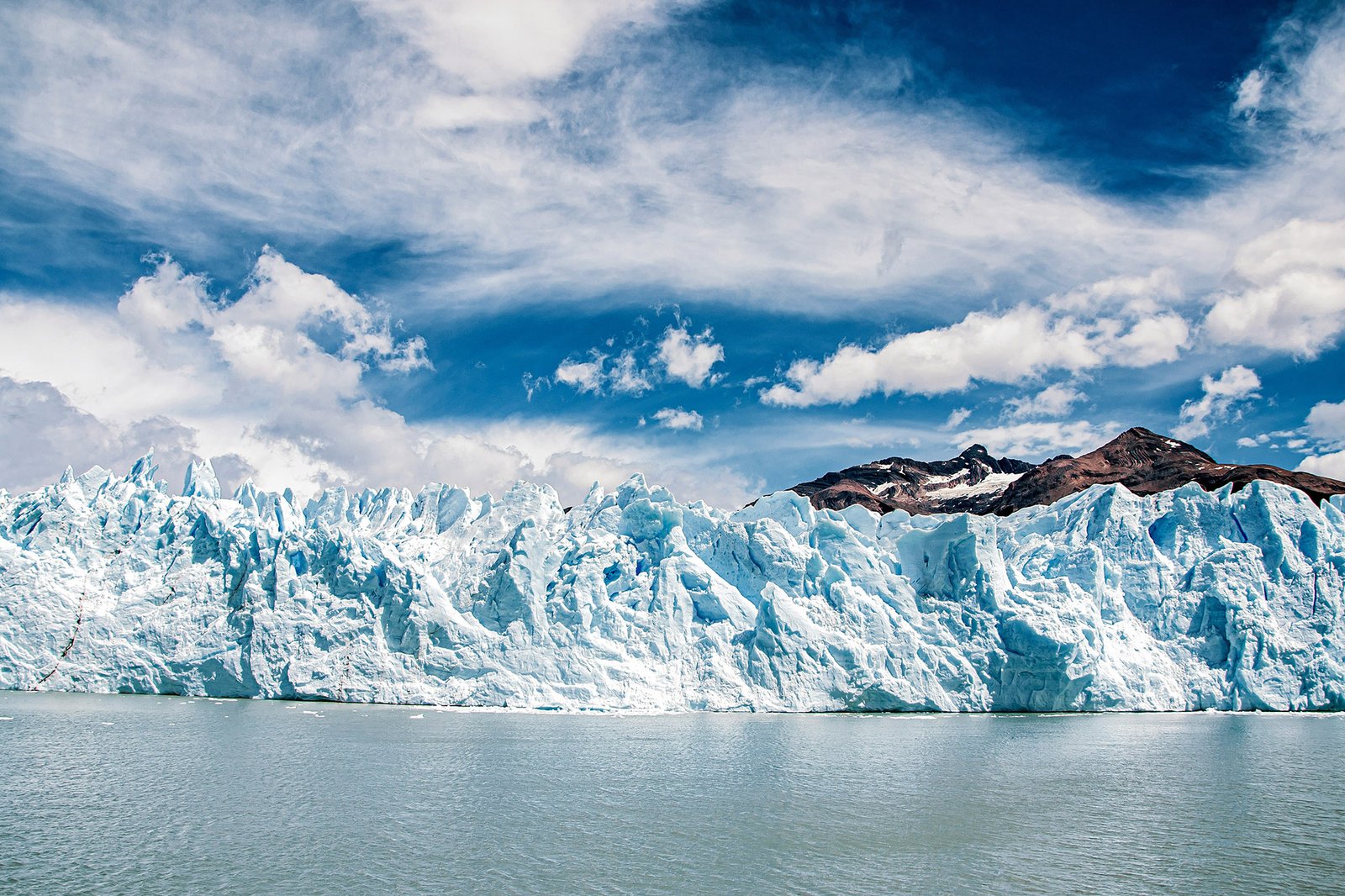
Cruise Glacier Alley past the Pía, Águila and Garibaldi glaciers
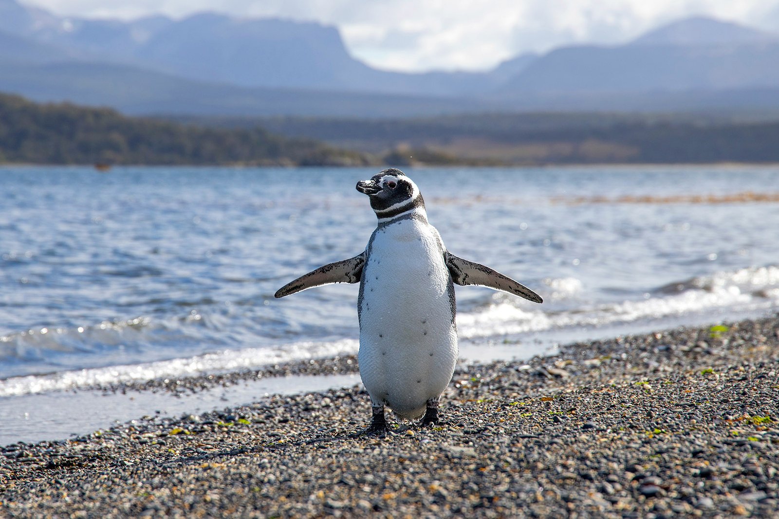
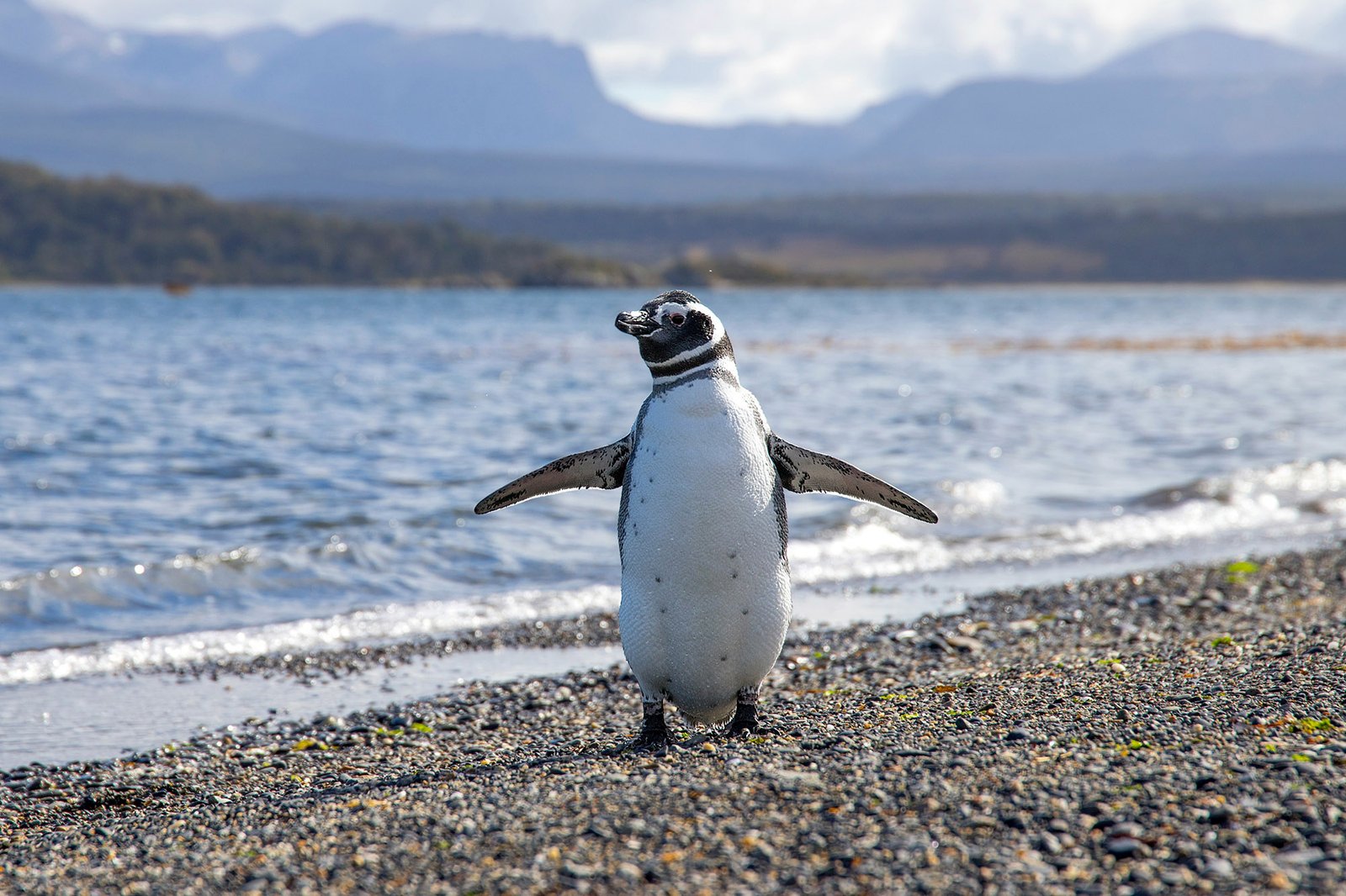
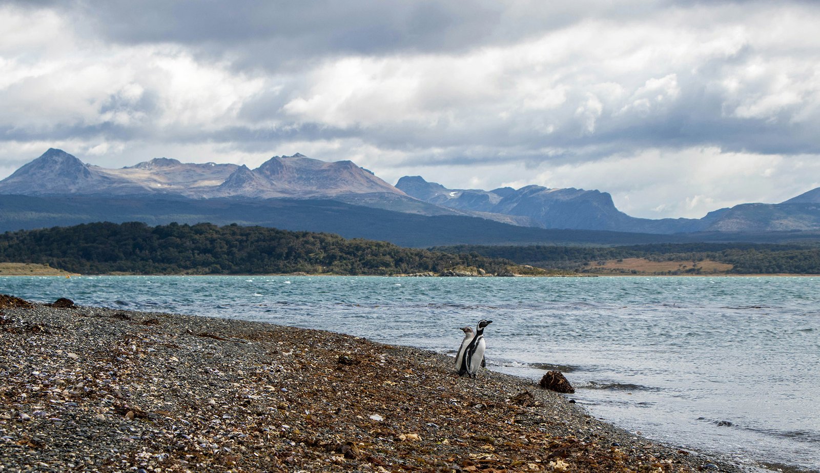
Visit the penguin colonies on Isla Martillo
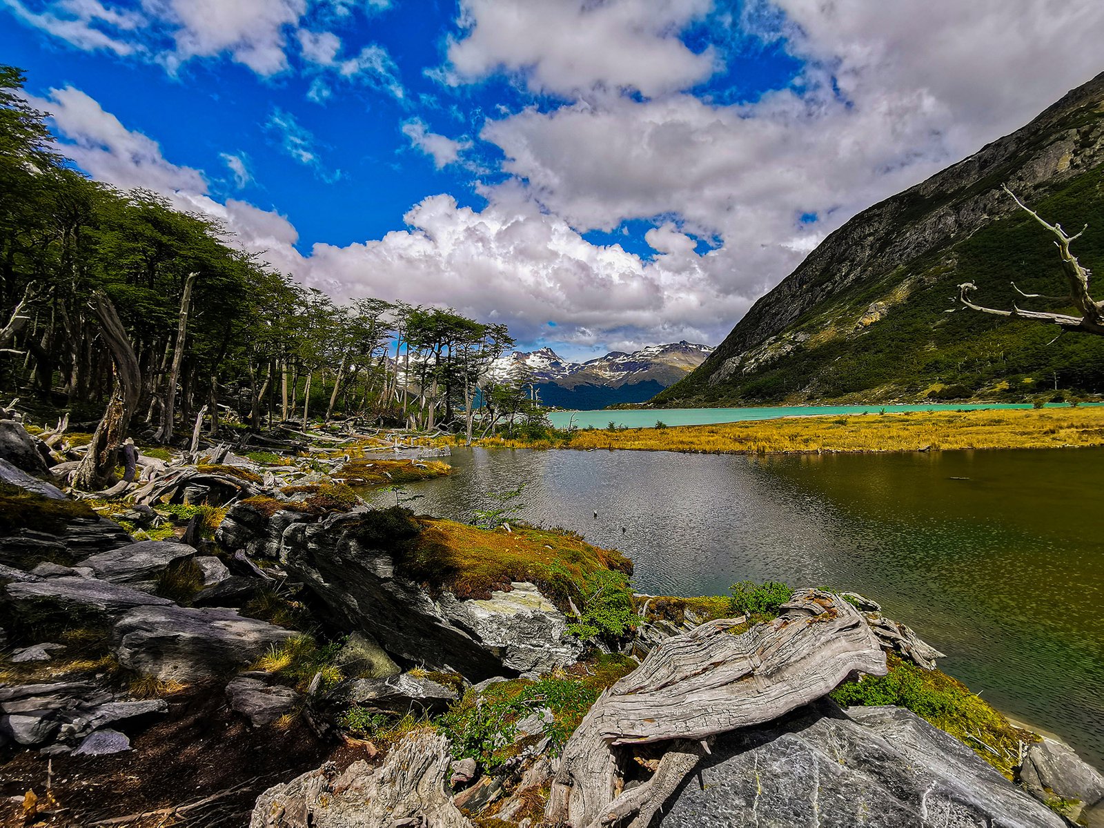
Hike the Senda Costera to Lapataia Bay
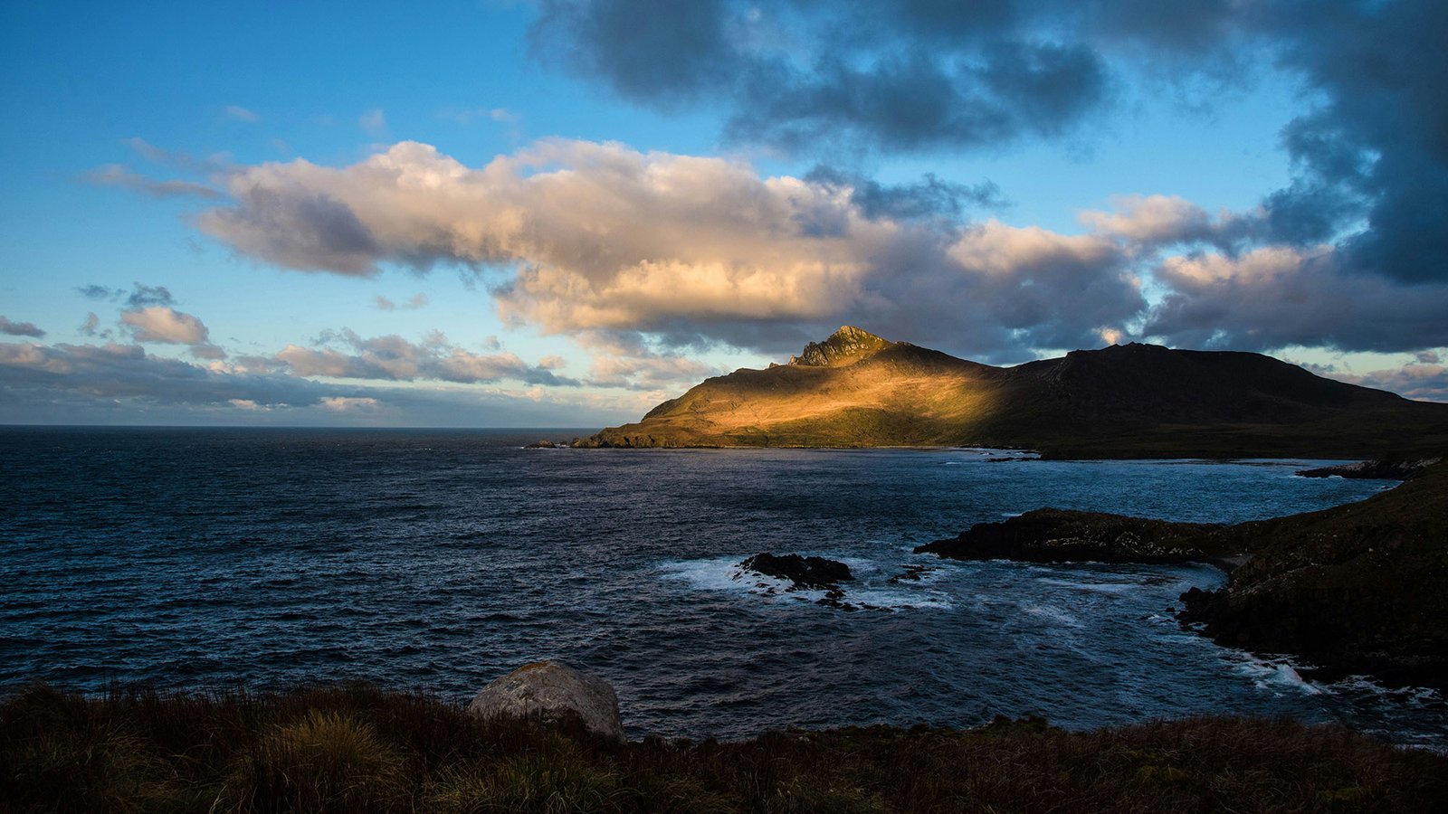
Round Cape Horn at the tip of South America
Tour the Museo Marítimo y del Presidio in Ushuaia
Tierra del Fuego National Park
Cape Horn National Park
Estancia Harberton
Isla Martillo Penguin Rookery
Dientes de Navarino
The sailing season runs through the Southern Hemisphere summer, roughly November to March, when daylight stretches to eighteen hours and temperatures average a cool 10 to 15 degrees Celsius. December and January are the most settled months, though weather at the tip of South America can shift quickly at any time of year, so itineraries generally build in flexibility around the forecast rather than a fixed schedule.
Most charters begin in Ushuaia, Argentina, served by Ushuaia International Airport (USH) with regular flights from Buenos Aires and El Calafate. Some itineraries instead start from Puerto Williams on Chile’s Isla Navarino, a short ferry or flight from Punta Arenas, which sits closer to the open water route toward Cape Horn, and has grown into a genuine gateway of its own for expedition sailing.
The sheltered waters of the Beagle Channel offer the most reliable anchorages, among them Wulaia Bay on Isla Navarino, the fjord below Pía Glacier, and the historic Estancia Harberton, still run by descendants of the family who founded it in 1886. Further south and more exposed, anchorages near Cape Horn are used only in settled weather with a wide margin for error.
A worthwhile itinerary through the Beagle Channel and its glaciers takes around seven to ten days, allowing time to explore at a relaxed pace and wait out weather windows when needed. Charters that extend to round Cape Horn or push further toward the Antarctic Peninsula typically run two weeks or more, depending on ice and weather conditions further south.
Cape Horn has one of the worst reputations in sailing, with more than 800 ships and an estimated 10,000 sailors lost there before the Panama Canal drew commercial traffic away in 1914. Modern charters treat it with the same respect, rounding it only in a settled weather window under an experienced captain’s judgment, and many itineraries are content to view it from a safe distance rather than press the point.